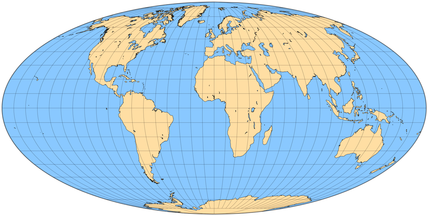
new MollweideProjection( [options])
Parameters:
| Name | Type | Argument | Description |
|---|---|---|---|
options |
AbstractProjection.configuration |
<optional> |
No options. |
Extends
Methods
-
getProjectionCenter()
-
- Inherited From:
- Implements:
-
getGeoBound()
-
- Inherited From:
- Implements:
-
<abstract> unProject()
-
- Inherited From:
- Implements:
-
<abstract> project()
-
- Inherited From:
- Implements:
 Documentation