 Documentation
Projection is an interface that provides many methods used to represent the 3-dimensional surface of the earth or
other round body on a 2-dimensional plane in cartography. The creation of a map projection involves two steps :
- selection of a model for the shape of the body (choosing between a sphere or ellipsoid),
- transform planetographic coordinates to plane coordinates.
 |
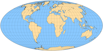
AitoffProjection | Provides a AITOFF projection |
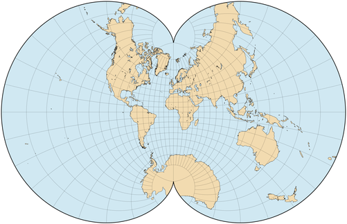 |
AugustProjection | Provides an august projection |
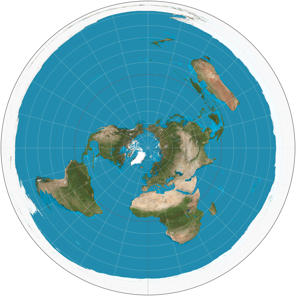 |
AzimuthProjection | Provides an azimuth projection |
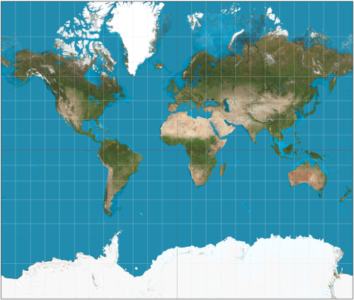 |
MercatorProjection | Provides a mercator projection |
 |
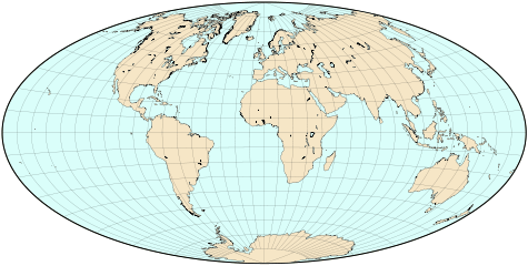
MollweideProjection | Provides a mollweide projection |
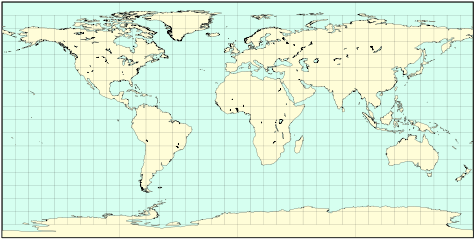 |
PlateProjection | Provides a plate carrée projection |
Methods
-
getProjectionCenter()
-
Returns the projection center.
Returns:
the projection center (longitude in degree, latitude in degree)- Type
- Array.<float>
-
getGeoBound()
-
Returns the geobound
Returns:
- Type
- GeoBound
-
unProject(position3d, dest)
-
Unprojects coordinates from a given 2D map to world coordinates
Parameters:
Name Type Description position3dArray.<float> 3D position on the map (x in pixel, y in pixel, altitude in meter) destArray.<float> physical position (longitude in degree, latitude in degree, altitude in meter) Returns:
physical position (longitude in degree, latitude in degree, altitude in meter)- Type
- Array.<float>
-
project(geoPos, dest)
-
Projects the world coordinates to a given 2D map
Parameters:
Name Type Description geoPosArray.<float> physical position (longitude in degree, latitude in degree, altitude in meter) destArray.<float> position on the map (x in pixel, y in pixel, altitude in meter) Returns:
position on the map (x in pixel, y in pixel, altitude in meter)- Type
- Array.<float>