 Documentation
A layer is an information that can be superimposed on another information.
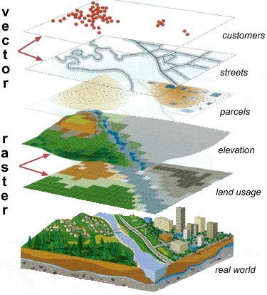 It exists different natures of layer,
which are listed as below :
It exists different natures of layer,
which are listed as below :
In addition to the classes, a factory is available to help for creating layer. Once the layer is created, the client can handle it by the use of its interface.
It exists different natures of layer,
which are listed as below :
- AtmosphereLayer : A layer to create an atmosphere on a planet.
- BingLayer: The Microsoft service proving a WMTS server.
- CoordinateGridLayer : A layer to create a grid on the sky
- GeoJSONLayer : A layer to add a GeoJSON on the globe
- GroundOverlayLayer : A layer to draw an image overlay draped onto the terrain
- HipsCatLayer : A layer to draw a HIPS catalogue
- HipsFitsLayer : A layer to draw an Hips Fits
- HipsGraphicLayer : A layer to draw a Hips JPEG/PNG
- MocLayer : A layer to draw a multi-order-coverage index
- OpenSearchLayer : A layer to draw the result from an open search service
- OSMLayer : A layer to display data coming from OpenStreetMap server
- PlanetLayer : A layer to save all layers of a planet
- TileWireframeLayer : A layer to draw a grid on the planet
- VectorLayer : A layer to draw a vector
- WCSElevationLayer : A layer to draw the elevation
- WMSElevationLayer : A layer to draw the elevation
- WMSLayer : A layer to draw images coming from the WMS server
- WMTSLayer : A layer to draw predefined tiles coming from a WMTS server
In addition to the classes, a factory is available to help for creating layer. Once the layer is created, the client can handle it by the use of its interface.
- Implements: